
Post by aswayze on Oct 4, 2009 16:16:16 GMT -5
Well Brett and I had to miss KCAA’s Operation Black Sun yesterday but the good news is, it was for a very good reason.
We now have the field for East Wind III picked out!
The field location will again be in central Missouri about 30 miles North/Northwest of Columbia.
The field is 400 acres with 265 acres being wooded.
The field is split diagonally by a creek (Obviously will be our border)
The field has 4 miles of roads and trails on it MOST of which are horse trails that will not be suitable for vehicle traffic. There are several very solid graveled roads in there however that will suit our needs nicely.
There are very suitable camp areas on opposite sides of the place that will provide unparalleled access to the camps for movement in and out. The Soviet main camp has a hard surface gravel road running right through it and the NATO camp has a county gravel road that dead ends right at a gate leading into it. The NATO camp also already has a perimeter fence and gates.
This place was an active surface coalmine until the early 1970s and there are MANY strip pits that have turned into nice deep lakes. These lakes total 65 of the 400 acres and make for excellent terrain obstacles. Additionally, there is considerable amounts of microterrain from the overburden and tailing piles (mostly covered in trees now)
There are a number of interior fences (mostly 2 wire horse fences) and gates that will also make good maneuver obstacles.
The parking area is large and has very solid soil composition. We will not have to deal with stuck Hondas out here. The parking is remote enough to stay out of sight but is also close enough that we can keep an eye on everything as well. It is gated, and we can lock the gate behind us.
There are a number of eclectic rental cabins on site that will prove QUITE useful for the mapping weekend since we will just rent a suitable cabin and do all of our map work on site. This saves quite a bit of time with set up and tear down on mapping weekends and lets us spend the maximum amount of time actually working. Additionally, cabins may be rented at either end of the event for those who might prefer to pimp it up a bit prior to or after the event.
The resort area also has showers that will be available (for a small fee) at the end of the event for those of you who might prefer to travel home in non-stanky mode.
Pics? We got pics. You will find all of the pics from the weekend on the Flickr account (follow the link on the main EW page). Here are a few samples:
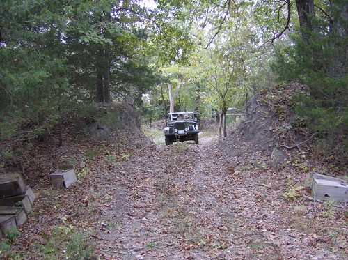
Gaz driving through a cut in a tailing pile.
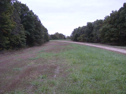
Soviet camp area
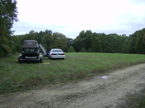
Parking area
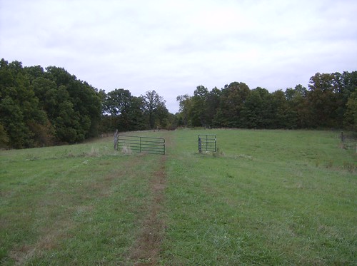
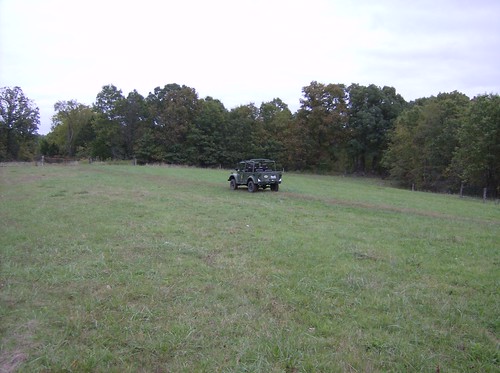
NATO Camp looking in through the front gate.
NATO camp area with GAZ in it (for scale)
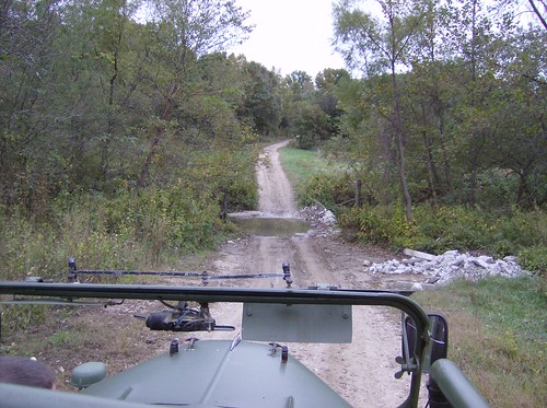
Border creek crossing
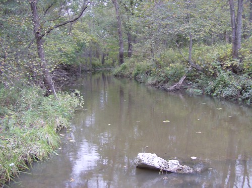
Border creek

Strip mine lake
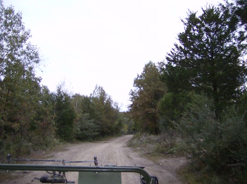
Gravel road (former mining company road)
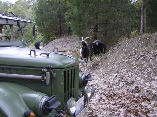
Goats!
We now have the field for East Wind III picked out!
The field location will again be in central Missouri about 30 miles North/Northwest of Columbia.
The field is 400 acres with 265 acres being wooded.
The field is split diagonally by a creek (Obviously will be our border)
The field has 4 miles of roads and trails on it MOST of which are horse trails that will not be suitable for vehicle traffic. There are several very solid graveled roads in there however that will suit our needs nicely.
There are very suitable camp areas on opposite sides of the place that will provide unparalleled access to the camps for movement in and out. The Soviet main camp has a hard surface gravel road running right through it and the NATO camp has a county gravel road that dead ends right at a gate leading into it. The NATO camp also already has a perimeter fence and gates.
This place was an active surface coalmine until the early 1970s and there are MANY strip pits that have turned into nice deep lakes. These lakes total 65 of the 400 acres and make for excellent terrain obstacles. Additionally, there is considerable amounts of microterrain from the overburden and tailing piles (mostly covered in trees now)
There are a number of interior fences (mostly 2 wire horse fences) and gates that will also make good maneuver obstacles.
The parking area is large and has very solid soil composition. We will not have to deal with stuck Hondas out here. The parking is remote enough to stay out of sight but is also close enough that we can keep an eye on everything as well. It is gated, and we can lock the gate behind us.
There are a number of eclectic rental cabins on site that will prove QUITE useful for the mapping weekend since we will just rent a suitable cabin and do all of our map work on site. This saves quite a bit of time with set up and tear down on mapping weekends and lets us spend the maximum amount of time actually working. Additionally, cabins may be rented at either end of the event for those who might prefer to pimp it up a bit prior to or after the event.
The resort area also has showers that will be available (for a small fee) at the end of the event for those of you who might prefer to travel home in non-stanky mode.
Pics? We got pics. You will find all of the pics from the weekend on the Flickr account (follow the link on the main EW page). Here are a few samples:
Gaz driving through a cut in a tailing pile.
Soviet camp area
Parking area
NATO Camp looking in through the front gate.
NATO camp area with GAZ in it (for scale)
Border creek crossing
Border creek
Strip mine lake
Gravel road (former mining company road)
Goats!